🗺️ Plan your Tour with Komoot
For each route you will find altitude, slope and duration. Download the .GPX file for your bike computer or use the app directly on your smartphone.
📲 Download the Komoot App:
🏆 Our Selected Routes
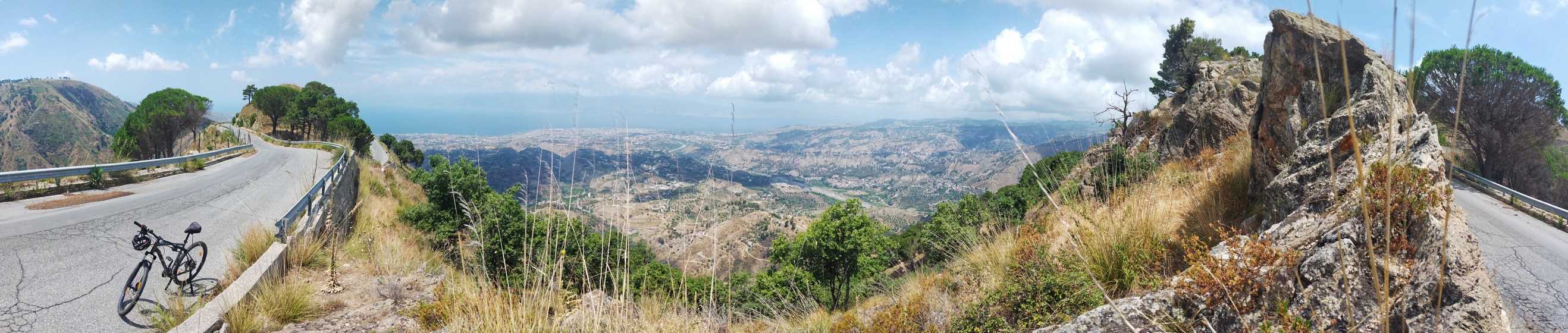
1. Tour of the two mountains
A winding road that climbs up Aspromonte. At each hairpin bend it is possible to admire a different glimpse of the panorama of the Strait of Messina. A natural terrace from which, on clear days, it is possible to admire the Etna volcano and Stromboli.
- 🔴 Difficulty: Hard
- ⏱️ Duration: 4 hours | Distance: 25,6 km
- 📈 Height difference: +800 mt (Max alt. 1000 mt)
- 👉 OPEN MAP ON KOMOOT
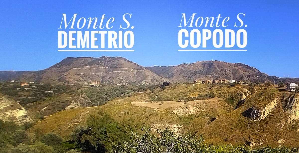
2. Motta S.Agata
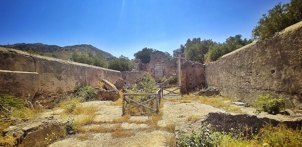
The town, abandoned after the earthquake of 1783, extends over an imposing cliff (Mount Suso) overlooking the S. Agata stream. It is known to have been part of the defensive system of the Motte located close to the Strait of Messina in the Middle Ages, but the site probably boasts more ancient origins as a Byzantine castron.
- 🟡 Difficulty: Medium
- ⏱️ Duration: 36 min | Distance: 6,19 km
- 📈 Height difference: +180 mt
- ⚠.️ Note: The passage over the river may be unusable during the winter.
- 👉 OPEN MAP ON KOMOOT
3. Castle of San Niceto
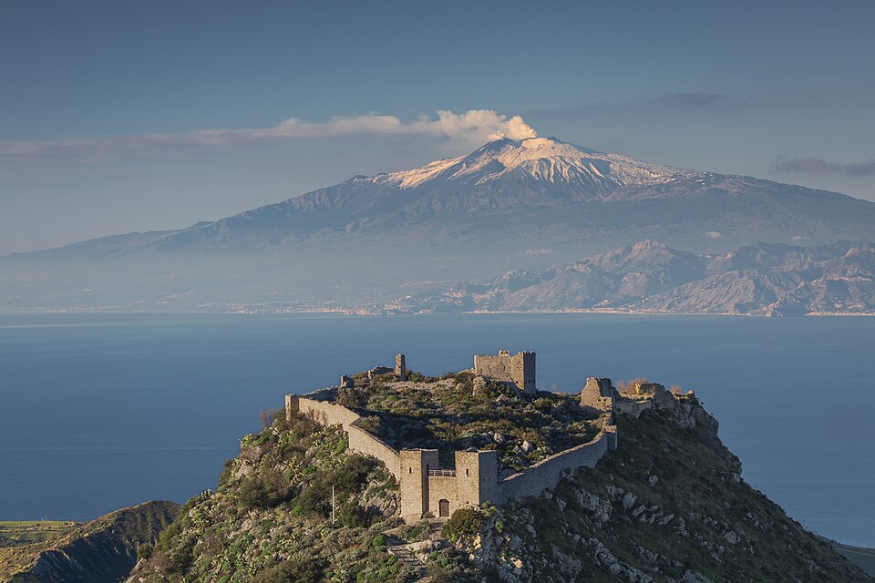
L’Etna ed il Castello di San Niceto - by Cesare Barillà is licensed under the Creative Commons Attribution-Share Alike 4.0 International license.
The original nucleus of the ancient fortress was built at the beginning of the 11th century, adapting to the conformation of the plateau. The irregular plan of the enclosure delimits a vast area with numerous ruins, of which a tower serving as a keep, a building leaning against the surrounding walls and a central palace are visible.
- ⚫ Difficulty: Very Hard
- ⏱️ Duration: 2h 51min | Distance: 18 km
- 📈 Height difference: +860 mt
- 👉 OPEN MAP ON KOMOOT